3. My Account
4. Creating and activating tracker (manually)
4.1. Creating and activating tracker (automatically)
5. Setup
8.1. Tools:Overview
8.2. Tools:Alerts
8.3. Tools:Geofencing
8.4. Tools: Reports
8.5. Tools: Send command
8.6. Tools: Other
8.7. Tools: Camera/Media
8.8. Tools: Tasks
8.9. Tools:Maintenance
8.10.Tools: Dashboard
8.11. Tools: Sharing
9. Widgets
11.Plugins
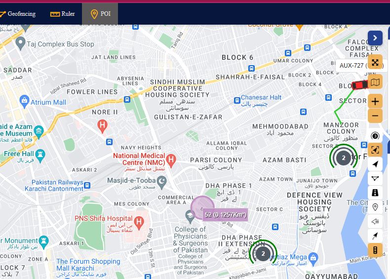
Ruler
To check distance between 2 or more points, click on Ruler and start clicking on the map.
POI
POI – point of interest. These are the icons that you can put anywhere in the map and create label for it. POI import file format is .KML.

Show point
With this tool you can see point on the map by entering coordinates or address.
Show address
Shows an address by coordinates.


